Ministry News
Dr. Al-Mussawi Extends Warmest Congratulations on Eid Al-Adha


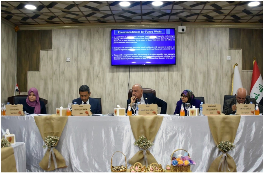
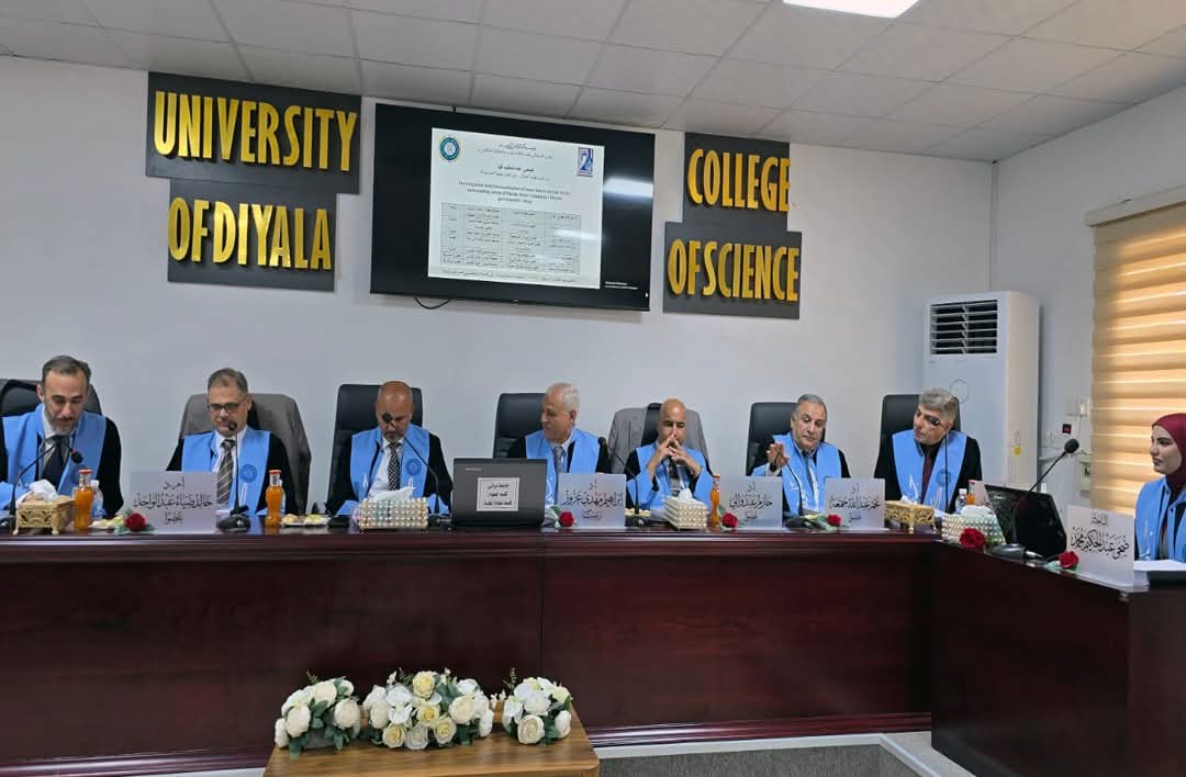
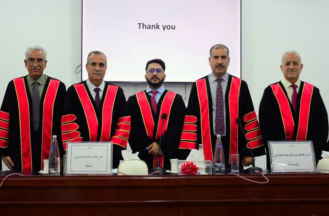
College of Engineering Technology, Al-Furat Al-Awsat Technical University discussed a master dissertation on the accuracy of a three-dimensional model of Al-Wand Dam, located on the Al-Wand River in Diyala Governorateby the postgraduate student, Mrs. Tara Muhammad Khudair.
The dissertation aimed at creating a geographical reference
based on the differential monitoring method and using a DGPS device to monitor
(57) ground control points, as well as using the Agi soft program to process
images and determine a geographical reference for the images later via using
(41) control points and ( 16) checkpoint.
The dissertation reviewed that the 95% confidence level for
the RMSE value of the horizontal coordinates at 150 meters falls between class
3 and class 4, while at 200 meters it falls between class 4 and class 5, while
at 250 meters it falls within class 5.
The dissertation highlighted that with regard to the
accuracy of vertical coordinates, accurate measurements of (0.087, 0.096,
0.258) meters were obtained for the aforementioned heights, respectively.
The dissertation confirmed that horizontal and vertical
accuracy decreases as the height of the drone increases above ground level.


Contact us for any inquiries about the services provided by the Ministry of Higher Education and Scientific Research